








Like it or not, the first signs of winter are coming sooner than you think. According to the National Weather Service, the area's first glimpse of snow could come as soon as Thursday night and last into Friday morning, following a few days of rain earlier in the week.
Rio Creek Feed Mill agronomist Mark Feuerstein is not too concerned about the possibility. For starters, the snow is not expected to stick around, with high temperatures reaching the mid- to upper 40s through Monday. He also says local farmers are far enough ahead of schedule that Mother Nature-induced delays should not hamper their progress too much, as long as there are breaks of dry weather in between.
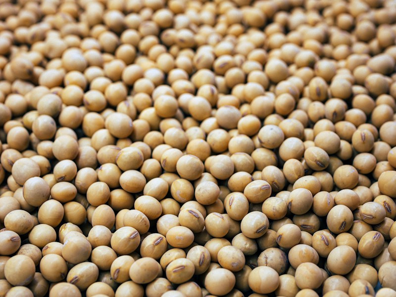
According to the USDA Crop Progress and Condition Report, Wisconsin farmers had only 3.6 days suitable for fieldwork last week, a drop of two days from the previous week. Despite that, the corn-for-grain harvest (72% complete) and soybean harvest (97% complete) are still ahead of their five-year averages, while winter wheat emergence is just 2 percentage points behind the five-year average.

