
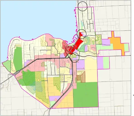
The Village of Sister Bay has approved a new zoning map following updates to its long-term land use plan and subsequent revisions to correct mapping errors.
The Village Board voted April 21 to adopt an ordinance establishing an updated official zoning map for the community. The change follows the village’s March 2025 update to its 20-year comprehensive land use plan, which included a revised future land use map.
Village officials later identified errors in that map and approved corrections in February. Under Wisconsin law, municipal zoning maps must align with adopted comprehensive plans, prompting the Plan Commission to draft a revised zoning map.
The commission held a public hearing March 31 and, after taking testimony, recommended approval of the updated map to the Village Board.
Zoning determines what can be built and where. The revised map is intended to align local regulations with long-term planning goals for housing, business development and land use.
The change is expected to provide clearer guidance for property owners and developers on permitted uses across the village. It also helps guide future growth by identifying appropriate areas for residential, commercial and mixed-use development, a key consideration in a tourism-driven Door County community.
The updated map will also support infrastructure planning by offering a more predictable framework for roads, utilities and public services based on anticipated development patterns.
The ordinance took effect April 22.